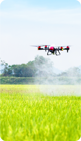
This new upgraded all-in-one machine delivers spraying, spreading, and mapping, altogether offering smart, efficient, and flexible autonomous solutions to make it the spearhead of agricultural drone.
CM-level RTK
Guarantee accurate flight operations
Multi-functional Design
Spraying / broadcast / mapping
Autonomous Operation
AI flight control, highly efficient with ease
Multi-directional Radars
Accurate perception & obstacle avoidance
Intelligent Interaction
Quick starting & easy-to-use
IP67 Protection
Waterproof & dust-resistant, sturdy & durable
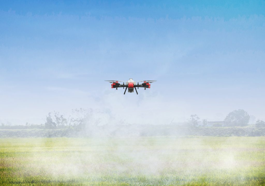
Smooth Mega-flow Spraying,
The Finest Atomisation
Dual nozzles and mega-flow peristaltic pumps increase the max. flow rate to 10L/min.
New brushless motors and centrifugal discs improve the efficiency of atomisation to make
spraying more even and controllable.
Mega-flow Peristaltic Pumps
Variable flow rate up to 10L/min
All-new Dual Nozzle Design
6m effective spray width
Intelligent Centrifugal Atomisation
60-400μm adjustable droplet size
20L Smart Liquid Tank
Real-time volume sensing
Highly Effective Spraying
Lifted up to 15 hectare per hour①
①The spraying efficiency is calculated based on 8m/s flight speed and 6m spray width under standard laboratory conditions. The specific performance may vary depending on the working environment, temperature, user habits, etc. Please use strictly in accordance with the official product guidelines.
Exceptional Uniformity,
A Huge Leap in Spreading
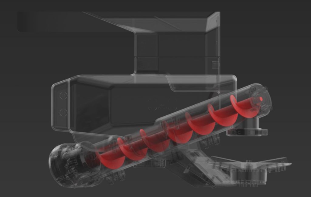
The industry-first dual centrifugal discs and screw feeder design substantially increase the spread width,making broadcast more even and effective without any seed damage. The capacity of the container is extended to 25L, which elevates the spreading efficiency to 2.4 tons of fertilisers or 1.6 tons of rice seeds each hour.②
②The spreading efficiency is calculated based on 8m/s flight speed and 10m spread width under standard laboratory conditions. The specific performance may vary depending on the working environment, temperature, user habits, etc. Please use strictly in accordance with the official product guidelines.
Dual Centrifugal Discs
Dual Centrifugal Discs
Variable Screw Feeder
Even and controllable distribution, no seed damage
25L Capacity Container
Real-time volume sensing
Mapping with a Few Clicks ,
HD Field Images Instantly at Hand
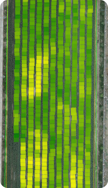
For the first time, this system enables agricultural drones to have rapid mapping capability. It can shoot, map,
and analyse farmland images autonomously, generating high-definition field maps and AI prescription maps,
in which field boundaries and crop growth status are accurately identified. Its mapping efficiency is more than
80 times that of traditional manual labour.
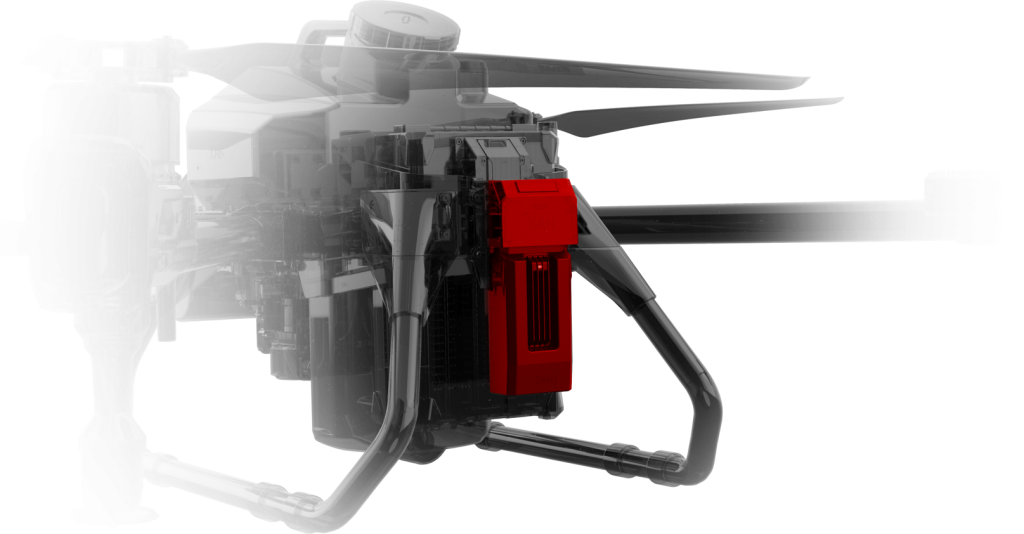
Mapping with Ease
Quick start & simple-to-use
HD Field Map Stitching
6.67 hectares available in 10 minutes ③
Accurate Perception
Identify field boundary & crop growth
Highly Adaptable
Rapid swap for seamless operations
High-resolution Optical Image
12 million pixels to reveal the smallest details
Special Material Protection
Waterproof & dust-resistant, stronger anti-erosion
③ The product specification is calculated under standard laboratory conditions. The specific performance may vary depending on the working environment, temperature, user habits, etc. Please use strictly in accordance with the official product guidelines.
A Smart Core Powered by AI
SuperX 4 Intelligent Control System is a perfect combination of the mighty AI algorithm, high-performance powertrain, and flexible task systems. As a perfect partner for digital agricultural production, it can easily realise fully autonomous field mapping, precision spraying and broadcast operations.
1GHz Independent Processor
Edge computing, respond at lightning speed
CM-level Positioning
Dual-Antenna RTK + cloud base stations
Support 5G Transmission
Quick access to more information
Fully Support AI Prescription
Enable precision operation
Enhanced Flight Safety
3 x IMU + AI fault prediction with multiple redundancy design
Automatic Route Planning
Program the best flight based on battery life and remaining spray volume
Sophisticated Perception
and Obstacle Avoidance
Multi-Directional Radar Matrix
Equipped with front dynamic radar and terrain-adaptive module to achieve omni-directional flight, while sensing the surrounding environment to predict any incoming obstacles. Flight operation is safer than ever.
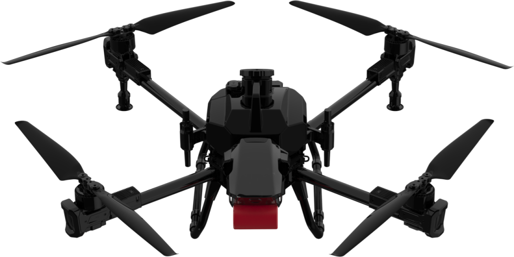
MIMO imaging radar oscillates frequently,accurately detecting obstacles within 40m
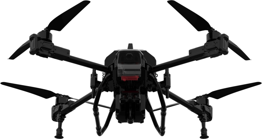
Terrain-following radar bolstersprecision detection of downward obstacles
Field Condition Clearly Displayed,
More Protection on Flight Safety
PSL pilot perspective image
Stronger Structure with Compact Fuselage,
Easy Transportation without Safety Concern
The shrinking body size has made it more compact and easier to transport. Adopt aluminium alloy material to ensure structural intensity and enhance seismic resistance.
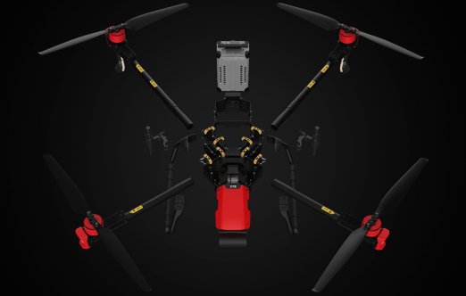
Modular Design
20% fewer components make maintenance easier

IP67 Rating Protection
Rinse directly by water,
adapt to various harsh conditions
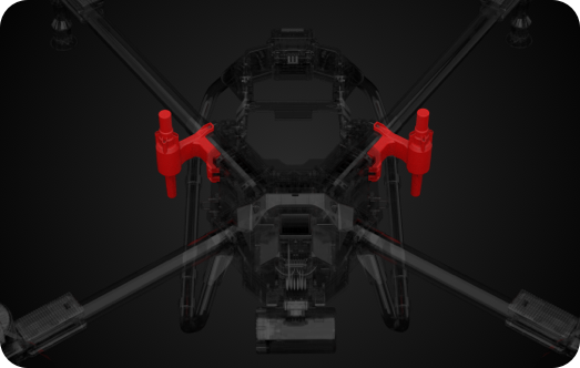
Improved Antenna Placement
Convenient assembly, stabler RTK positioning performance
High-Performance Motors,
Powerful Momentum
High-performance motors and 40-inch superior propellers largely contribute to the reduction of
arm vibration and power loss, which provides a stable and sufficient power supply.
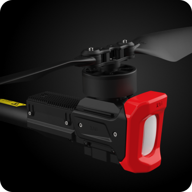
More powerful, greater tension

Precise control, quick response & energy-saving, better heat dissipation
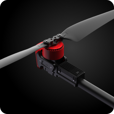
Enhance flight stability
Battery Power
Stronger, Smarter, and Safer
The all-new B13960S Smart Battery possesses bigger electric power and super charge capability.Two batteries with one GC4000+ SuperCharge Station can realise non-stop operations in fields.
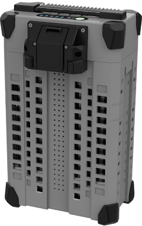
B13960S Intelligent
SuperCharge Battery
- 960 Wh large capacity
- 11min fully charged in water cooling tank④
- XBMS Intelligent Battery Management System
- Self-balancing of battery cell
- New heat-resistant material with a built-in temperature sensor
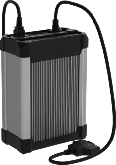
CM12500P Intelligent SuperCharger
- Economical and highly efficient
- 2500W rated power, 15min SuperCharge
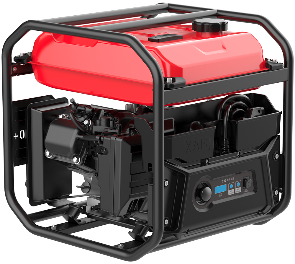
GC4000+ Auto SuperCharge Station
- Variable frequency generator with ultra-low fuel consumption of 0.6L/KWh
- Max. 25 batteries can be fully charged with a 15L full tank of petrol
- Small and lightweight, 31.5kg in net weight
- XBMS intelligent battery management system, safe and reliable
- LCD monitor allows quick access to operating status and maintenance reminder
④Laboratory research shows that, under general operating conditions, the GC4000+ Auto SuperCharge Station can fully charge a B13960S Battery within 11 minutes from 30% to 95%. The specific performance may vary depending on the working environment, temperature, user habits, etc. Please use strictly according to the official product guidelines.
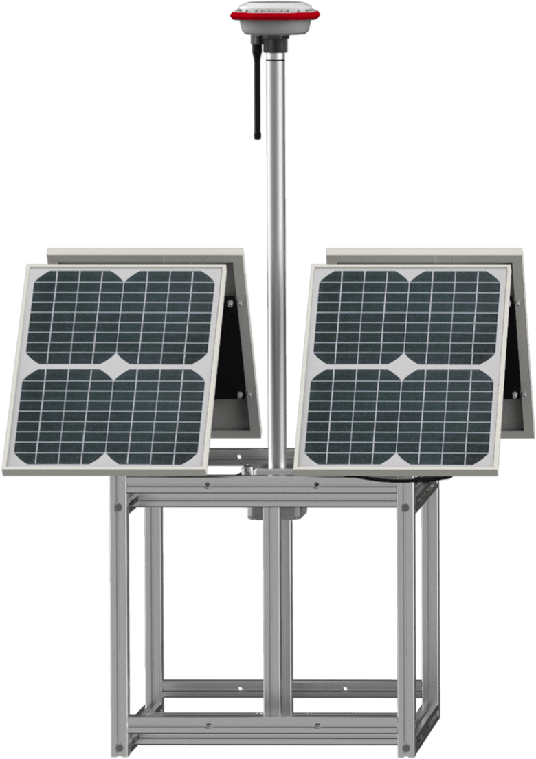
XAG RTK Portable Base Station
The RTK base station provides real-time centimetre-level positioning to agricultural drones, robots, autopilot consoles during farm operations. Stay connected to various smart agricultural equipment, the RTK station supports every mission with reliable data, offers a comprehensive solution for precision tasks.

Provide Centimetre-Level Positioning to Devices
Provide differential data for mobile devices via radio in 2-3 km radius coverage, high stability and short delay in signal transmission. Broadcast via more stable 3G/4G network in a wide coverage range of 50-60 km
Connect with Ease for Simple Operation
Support mutiplied XAG products including agricultural drones, remote sensing drones, unmanned ground robot and XAG AutoPilot Console to access simultaneously
IP65 Rating Protection
Waterproof & dust-resistant, ready to effectively operate under various harsh conditions
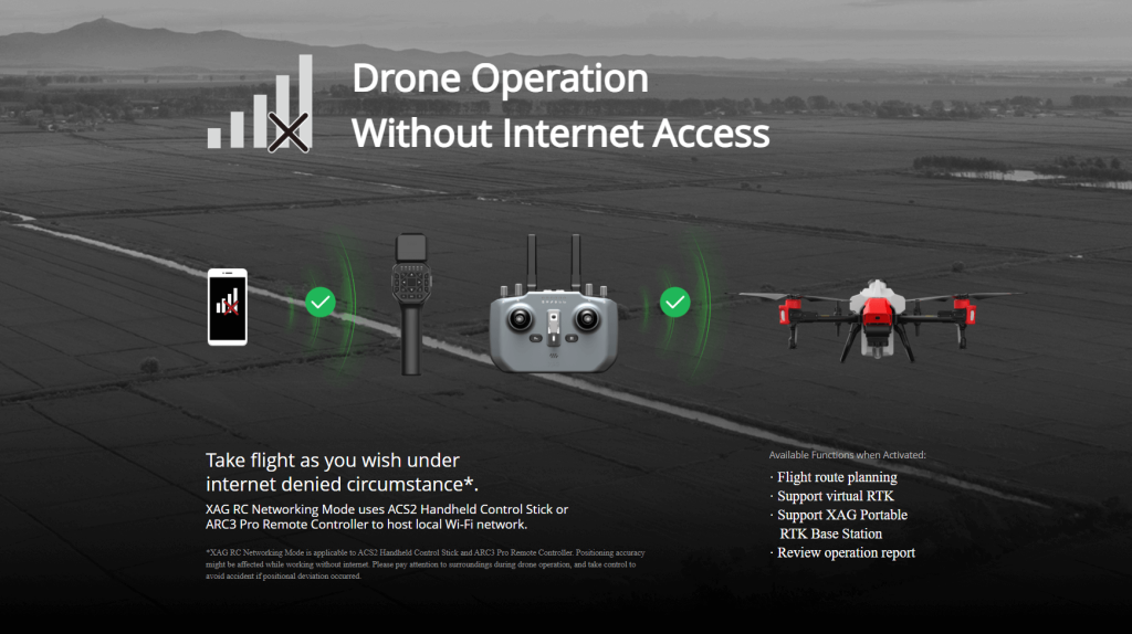
XAG Local Network Terminal
A Solution Born for Poor Network Connection
XAG Local Network Terminal provides stable communication links for fully autonomous drone operation under 4G network but with poor signal or non 4G network. Bridging signal connection between handheld control terminals, RTK portable base station and XAG agricultural drone, this is the solution that you need to remain steady, safe, and high-accuracy flight. Breaking the limitation on internet infrastructure.

Efficient Network Access
800 M⑤network coverage range, support wireless LAN hotspot access to network connection
RTK Portable Base Station Connection
Connect XAG agricultural drone and RTK portable base station that enable fully autonomous flight at centimetre-level positioning
Localized Cloud Algorithms
Reduce postback delays for smooth operation
⑤The coverage range is calculated at 5 meters flight altitude in an open and unobstructed environment with electromagnetic interference exclusive,and the equivalent isotropically radiated power(EIRP) conforms to the FCC certification standard. The specific performance may vary depending on the working environment, temperature, user habits, etc. Please use strictly in accordance with the official product guidelines.
Quick Start with , Three Operation Modes
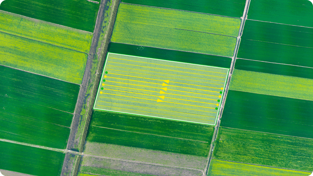
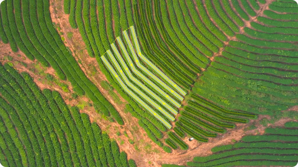
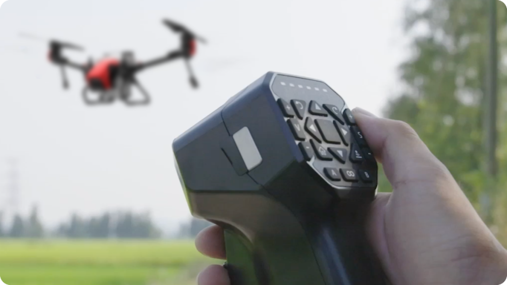
Remote control mode
Two Ways of Interactions,
Palm Pilot Your Drone
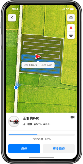
XAG One App
- Satisfy various demands of farmers with one APP
- Accessible by smart phone
- Generate operation path automatically
- Swarm operation, fully autonomous

Handheld Control Stick
- Button-based manual control
- Support flight path upload to smartphone
- Provide handheld RTK mapping
- Small field operation without mapping
- Support 4G mobile network
Data Cloud Storage ,One Click to
Have Your Operation Reports
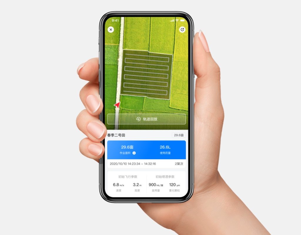
All operational data is stored in the cloud with one touch to generate and share your reports. Operation records allow playbacks of flight paths.
Kick off a New Era of Autonomous Farming

